BOOK NOW FOR 2026 WITH A 25% DEPOSIT - OR ENQUIRE FOR A TAILOR MADE QUOTATION
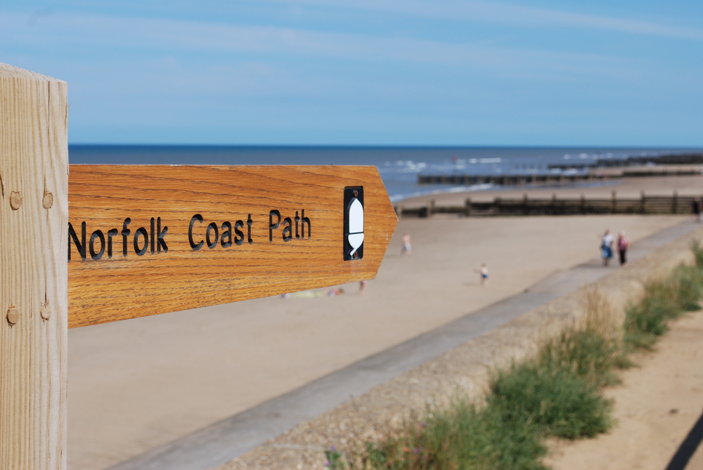
Walk The Norfolk Coast Path
84 miles
easy
Walk The Norfolk Coast Path
Itinerary
Day 1 Hunstanton to Burnham Overy Staithe – 12.5 miles
Day 2 Burnham Overy Staithe to Wells-next-the-Sea – 10 miles
Day 3 Wells-next-the-Sea to Cley-next-the-Sea – 10 miles
Day 4 Cley-next-the-Sea to Cromer – 13.5 miles
Day 5 Cromer to Happisburgh – 14 miles
Day 6 Happisburgh to Winterton-on-Sea – 10 miles
Day 7 Winterton-on-Sea to Hopton-on-Sea – 14 miles
The most popular direction to do this walk is from West to East, but if you would prefer to go from East to West then this can be easily arranged. Both ends of the walk are accessible from train stations. The station in King’s Lynn is 30 minutes from Hunstanton by taxi. Hopton-on-Sea is 20 minutes by taxi from Great Yarmouth train station.
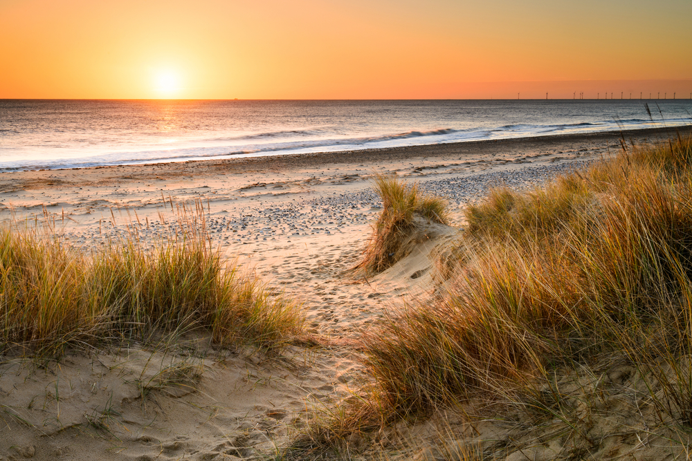
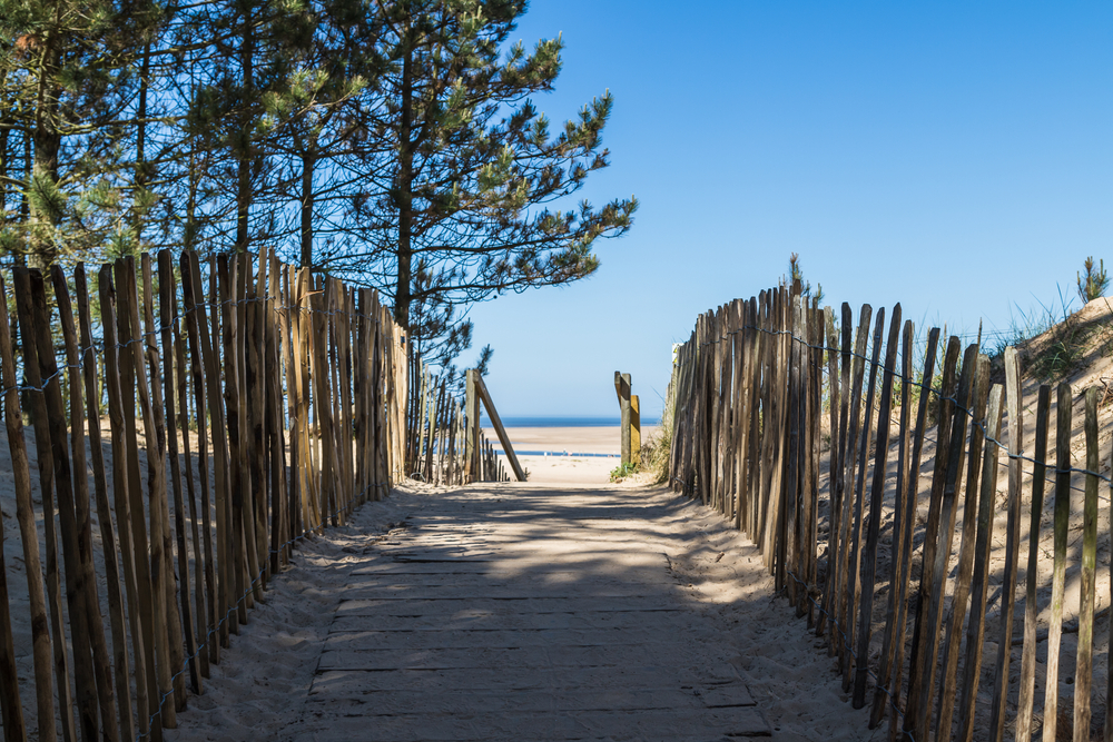
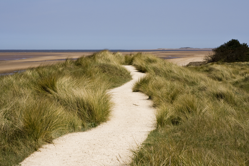
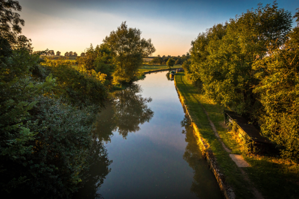
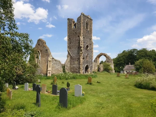
A National Trail from Hunstanton to Hopton-on-Sea. The path is varied and includes sandy beaches, seaside towns and picturesque villages. The salt marshes are home to numerous bird species, such as Marsh Harriers. You will also see windmills, the site of a Roman encampment and the remains of invasion defences from the Second World War.
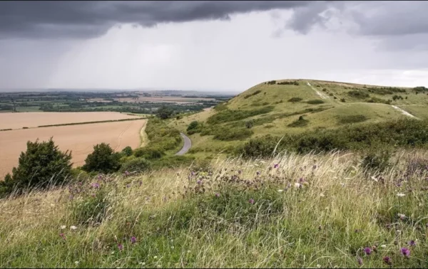
The Norfolk Coast Path terrain is relatively easy, with the highest point on the path only 207 ft high when crossing the Beeston Bump near Sheringham. For much of its length, the path is more-or-less flat and is well signposted with the National Trails’ acorn symbol. The Norfolk Coast Path was opened in 1986 and originally finished at Cromer. In 2016 it was extended to Hopton-on-Sea on the border with Suffolk.
Price
The price for a holiday walking the Norfolk Coast Path is from £970 per person (based upon 2 people sharing). This includes:
Personalised itinerary for walking the Norfolk Coast Path on a self-guided basis over 7 days
8 nights’ bed & breakfast accommodation on a double or twin room basis (this includes B&B for the night before you start and the day you finish)
Taxis for drop-off/pick-up where the B&B is not within easy walking distance of the Path
Baggage transfer for one bag per person between each night’s B&B
Advice on travel arrangements to and from the start and finish points
Ordnance Survey Explorer maps which can be downloaded onto the OS App
Harvey Waterproof Map for the Norfolk Coast Path
Kit checklist – covering boots & socks, clothes & waterproofs, and other useful kit
Helpline – you can call us at any time
Solo traveller price is £1315. This is because most B&Bs do not have single rooms and so will charge almost as much for one person as for two.
Key Information
Time of Year: This walk can be done at any time of year, although we recommend between April and October for the best weather conditions and longer daylight hours.
Terrain: The terrain is easy. For much of its length, the path is relatively. The walking surfaces are generally good, but can be muddy in places depending upon the time of year.
Way marking: The route is well signposted with the National Trails’ acorn symbol.
Bed & Breakfast: We always aim to book good quality B&B accommodation as near as possible to the path yet, despite its popularity, there are relatively few B&Bs on the path itself or within easy walking distance. This means that sometimes the only option is to book B&Bs that are away from the path and arrange pick-up/drop-offs by taxi.
Refreshments: Compared with some other routes, this walk is actually quite good for places en route to get a cup of coffee (or a bacon butty or cake!) without having to deviate from the path. However, whether these will be open depends on the time of year, day of the week and time you happen to be passing.
A National Trail from Hunstanton to Hopton-on-Sea. The path is varied and includes sandy beaches, seaside towns and picturesque villages. The salt marshes are home to numerous bird species, such as Marsh Harriers. You will also see windmills, the site of a Roman encampment and the remains of invasion defences from the Second World War.