
Description
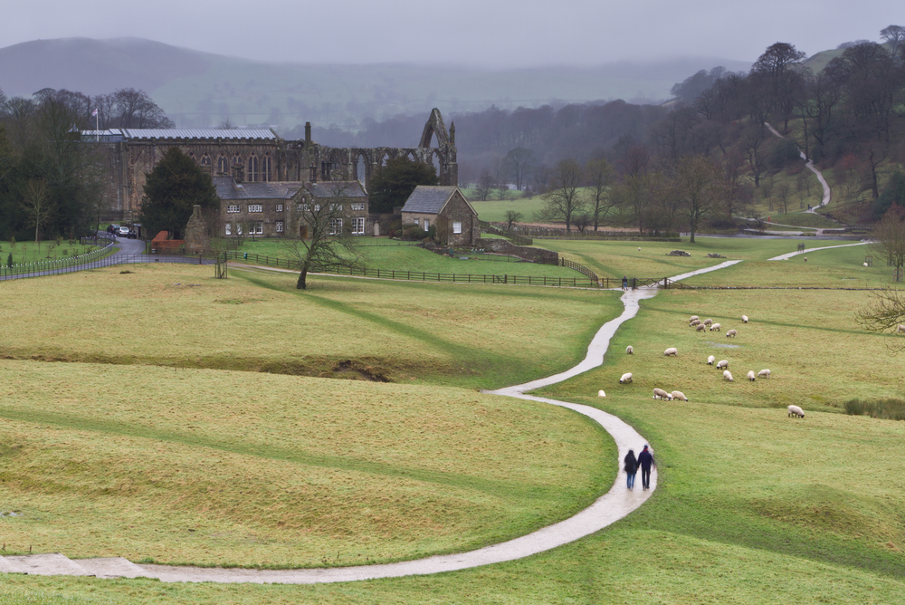
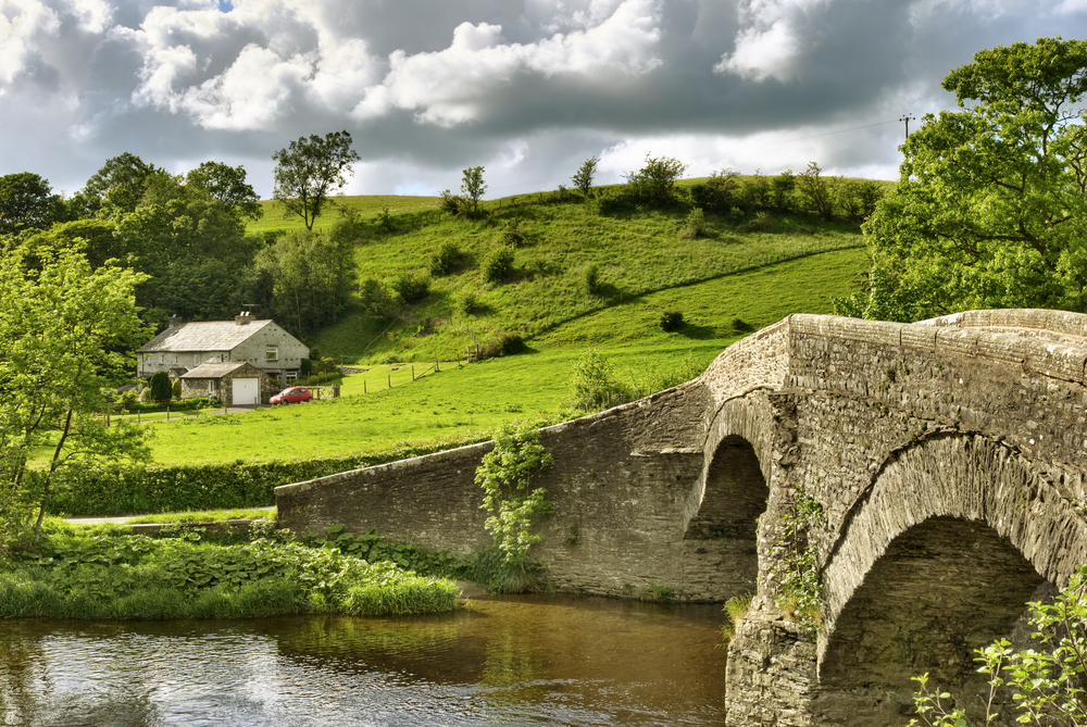
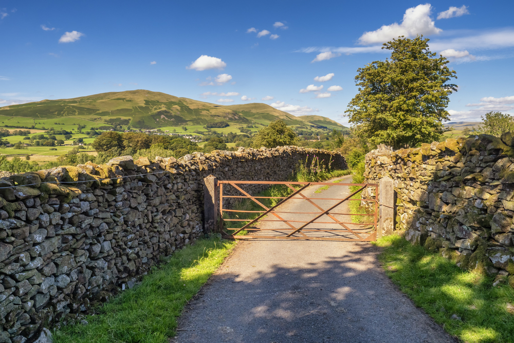
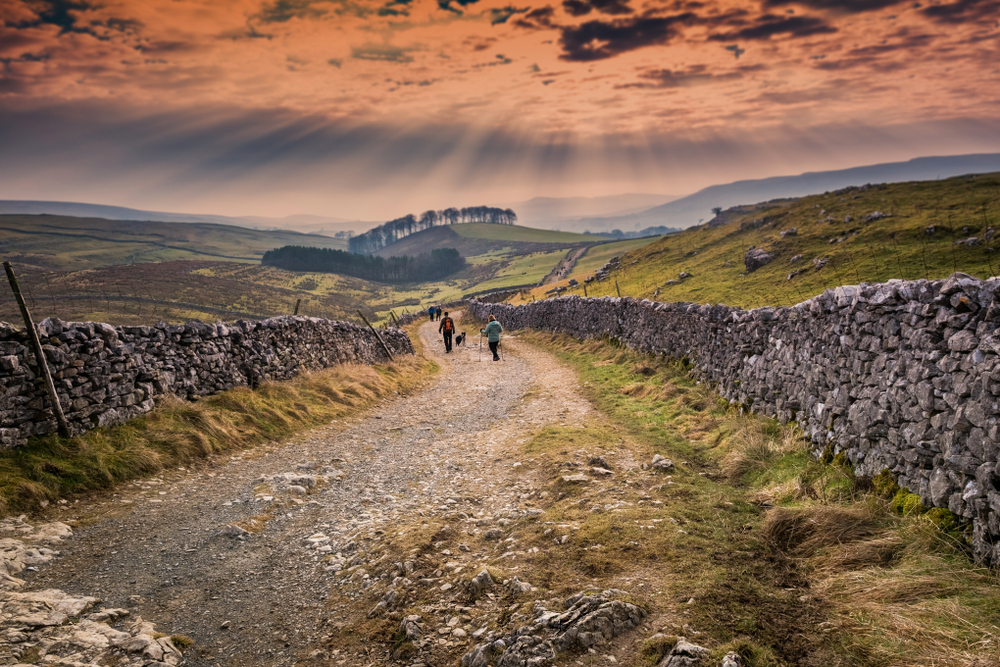
The Dales Way is an 80-mile path from Ilkley in West Yorkshire to Bowness-on-Windermere in Cumbria. It mainly follows riverside paths and passes through the Yorkshire Dales National Park and the foothills of the Lake District National Park. Starting in Ilkley, the path follows the River Wharf, passing by the ruins of Bolton Abbey, up to its source in the Pennines. It then follows river valleys to the shores of Lake Windermere.